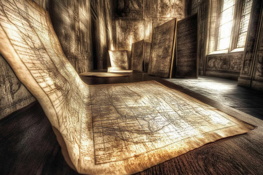

Maps have long guided explorers to new lands, hidden treasures, and forgotten civilizations—but not all maps are what they seem. Some contain baffling details that shouldn’t exist, others have led to discoveries that rewrote history, and a few remain unsolved mysteries to this day. From ancient cartography that defies logic to strange markings that revealed lost worlds, these maps hold secrets waiting to be uncovered. Could there still be maps out there leading to discoveries we have yet to imagine?
The Piri Reis Map – A 16th-Century Map of Antarctica Without Ice

Created in 1513 by Ottoman admiral Piri Reis, this map contains astonishingly accurate details of South America and Antarctica—despite being drawn centuries before modern exploration. Even more mysterious, it depicts Antarctica without its thick ice cover, something only modern satellite imaging can confirm. Some theorists believe it is evidence of ancient seafaring civilizations that predate recorded history. How did Piri Reis acquire such knowledge, and what secrets might his sources have held?
The Vinland Map – Proof of Vikings in America?

Before Columbus, did the Vikings really reach North America? The Vinland Map, allegedly created in the 15th century, shows part of North America labeled as “Vinland”—matching Norse sagas describing Viking expeditions. If authentic, it could be one of the earliest maps proving that Europeans reached the New World long before Columbus. Though its authenticity remains debated, its implications could rewrite history.
The Zeno Map – A Forgotten Voyage to the Americas?

The Zeno Map, published in 1558, claims that Venetian sailors reached North America a century before Columbus. It depicts a mysterious land called Frisland, which does not appear on any modern maps. While some dismiss it as a hoax, others believe it could hint at a lost expedition or an island that has since disappeared. Did Venetian explorers truly set foot in the New World long before history recorded it?
The Copper Scroll – A Treasure Map from the Dead Sea Scrolls

Unlike the other Dead Sea Scrolls, the Copper Scroll is not a religious text—it’s a detailed list of hidden treasures. Written on thin sheets of copper, it describes caches of gold and silver buried across the ancient world, with clues leading to their locations. Despite countless searches, none of the treasures have ever been found. Is this an elaborate hoax, or are unimaginable riches still waiting to be unearthed?
The Agnese Portolan – A Medieval Map with Impossible Precision

Andrea Bianco’s Agnese Portolan (1436) is one of the most advanced medieval maps ever discovered. Despite lacking modern navigation tools, it accurately plots coastlines and distances with near-GPS precision. Some claim it’s proof of forgotten advanced mapping techniques, while others believe it was based on even older, unknown sources. Could ancient mariners have possessed greater knowledge of the world than we thought?
The Waldseemüller Map – The First to Name America

Created in 1507, Martin Waldseemüller’s map is the first known document to name the newly discovered lands “America.” It mysteriously depicts South America in surprising detail, even though European explorers had barely begun mapping the continent. How did Waldseemüller gain such knowledge, and could there have been secret voyages that history has forgotten?
The Gough Map – A 14th-Century Map of England That Shouldn’t Exist

One of the earliest detailed maps of England, the Gough Map from the 1300s includes accurate coastlines and distances—centuries before such surveys were thought possible. It even depicts London as a major city long before it reached its historical prominence. How did medieval mapmakers achieve such accuracy without modern technology?
The Ebstorf Map – A Giant Map with Biblical Secrets

The Ebstorf Map, created in the 13th century, is an enormous medieval map that places Jerusalem at its center, surrounded by biblical and mythological locations. Destroyed during World War II, its remaining copies suggest it contained secret religious and historical messages. Was this map a symbolic representation of the world, or did it encode hidden knowledge from the past?
The Ruysch Map – A 1508 Map Showing an Unknown Continent

One of the earliest post-Columbus world maps, the Ruysch Map includes an unexplained landmass near the Arctic that does not exist today. Some believe it represents a lost continent or a misinterpretation of a now-submerged land. Could this be evidence of a forgotten world swallowed by time?
The Tabula Rogeriana – A Map That Placed South at the Top

Drawn in 1154 by Arab geographer Al-Idrisi, the Tabula Rogeriana was one of the most detailed maps of the medieval world. Strangely, it places south at the top instead of north, challenging the way people viewed the world. This unusual orientation has led some to believe that ancient cultures had entirely different methods of navigation and understanding geography.
The Da Vinci Map – A Genius’ Mysterious City Blueprint

Leonardo da Vinci’s lost map of an ideal city was centuries ahead of its time, featuring underground sewage systems, multi-level streets, and a grid layout similar to modern cities. Though it was never built, his ideas influenced urban planning long before modern architects thought of them. Could da Vinci’s lost map contain more ideas that were centuries ahead of their time?
The Phaistos Disk – A Map or an Ancient Code?

Found in Crete, the Phaistos Disk is covered in mysterious symbols that have never been deciphered. Some believe it is an ancient map leading to a lost civilization, while others think it could be a message from an unknown culture. If cracked, could this strange disk reveal a history we never knew existed?
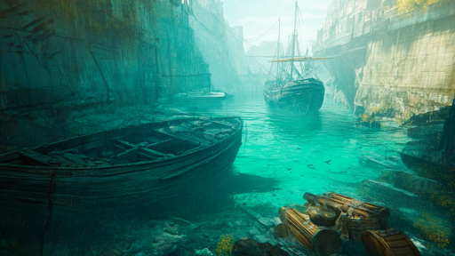
The Vineta Map – A Map to a Sunken City?

The lost city of Vineta, known as the “Atlantis of the North,” appears on several medieval maps but is missing from modern ones. Legends say it was swallowed by the sea due to its people’s arrogance, and some believe the maps hint at its real location. Could this mysterious city still lie beneath the waves, waiting to be rediscovered?
The Buried City Map That Led to Pompeii’s Rediscovery

For centuries, Pompeii was thought to be lost forever, but an old Roman map led explorers to its buried ruins. The discovery of the map—marked with what seemed like a forgotten city—sparked excavations that revealed one of the best-preserved ancient cities in the world. Without this strange map, Pompeii might have remained hidden beneath layers of volcanic ash.
The Map of Agartha – A Guide to the Fabled Inner Earth

Legends speak of Agartha, a hidden world beneath the Earth’s surface, said to be home to an advanced civilization. Strange maps from the 17th and 18th centuries depict vast underground tunnels and lost cities deep within the Earth’s crust. Some explorers and mystics claim to have found entrances in the Himalayas, Antarctica, and even deep caves in South America. Could these maps hold the key to a world hidden beneath our feet?
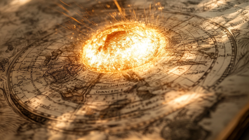
Are There More Maps Leading to Forgotten Worlds?

Some maps lead to lost cities, while others reveal impossible knowledge that should not have existed in their time. Whether drawn by mistake, encoded with hidden truths, or depicting lands we have yet to rediscover, these strange maps challenge what we think we know. If history is still being rewritten by ancient cartography, what other discoveries might still be waiting to be found?