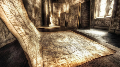

Maps are more than just tools for navigation—they are time capsules of forgotten secrets, hidden messages, and unexplained anomalies. Some maps reveal lands that were never supposed to exist, while others contain coded messages that took centuries to decipher. Whether created by ancient civilizations or skilled cartographers with unknown knowledge, these maps challenge our understanding of history. What other secrets might still be waiting to be uncovered within the lines and symbols of old maps?
The Piri Reis Map – Antarctica Before It Was Discovered

Drawn in 1513, the Piri Reis Map is one of the most mysterious cartographic artifacts in existence. It accurately depicts the coastline of Antarctica—centuries before the continent was officially discovered. Even more puzzling, it shows the land without its thick ice covering, something only modern satellite imaging has confirmed. Could this mean ancient explorers mapped Antarctica long before modern history records?
The Vinland Map – Evidence of Vikings in America?

Before Columbus, did the Vikings already map North America? The Vinland Map, believed to be from the 15th century, shows a land labeled “Vinland” far west of Europe, matching Viking sagas. If real, this map is one of the earliest pieces of evidence proving Europeans reached the Americas long before Columbus. But with controversy surrounding its authenticity, could it be a long-forgotten truth or an elaborate hoax?
The Agnese Portolan – A Map That Shouldn’t Be Possible

Created in 1436, the Agnese Portolan is a navigational map with surprisingly modern accuracy. It precisely outlines coastlines and distances without the advanced surveying tools we use today. Some researchers believe medieval cartographers had access to unknown techniques or even ancient world maps from lost civilizations. How could people in the 15th century achieve such precision without modern technology?
The Zeno Map – A Forgotten Route to the Americas?

Published in 1558, the Zeno Map claims Venetian sailors reached North America nearly 100 years before Columbus. It depicts a mysterious island called Frisland, which does not appear on modern maps. While some believe Frisland was a myth, others suggest it may have been a now-submerged island. Could this map be evidence of a lost pre-Columbian voyage to the New World?
The Ebstorf Map – A Hidden Symbolic Code?

Unlike most maps, the Ebstorf Map from the 13th century blends geography with religious imagery, portraying Jerusalem at its center and mythical creatures around the edges. Some researchers believe the map encodes hidden messages about medieval worldviews, possibly even lost biblical secrets. Destroyed during World War II, all that remains are detailed copies—leaving its mysteries unsolved. Did this map hold knowledge that was never meant to survive?
The Gough Map – England’s First Accurate Road System

Created in the 1300s, the Gough Map is the earliest known detailed map of England, including recognizable coastlines and roads. What makes it shocking is its level of accuracy—far more precise than medieval maps should have been. Even the Roman road system, which had been abandoned for centuries, appears marked with careful detail. Could this map be evidence that medieval scholars had access to ancient Roman knowledge that was never lost?
The Tabula Rogeriana – A Map That Flipped the World Upside Down

Drawn in 1154, Al-Idrisi’s Tabula Rogeriana is one of the most advanced maps of the medieval period. However, it places south at the top and north at the bottom, completely reversing the way we view the world today. Some scholars believe this reversal wasn’t a mistake but reflected a different way of seeing geography in the medieval Islamic world. Could modern maps be based on an arbitrary standard rather than true orientation?
The Phaistos Disk – A Mysterious Map or an Undeciphered Code?

Found in Crete, the Phaistos Disk is an ancient clay tablet covered in symbols that have never been deciphered. Some believe it is a primitive map leading to a lost civilization, while others think it could contain a message from an unknown culture. No other document like it has ever been found. If cracked, could it reveal a forgotten chapter of history?
The Ruysch Map – A Lost Land in the Arctic?

Drawn in 1508, the Ruysch Map depicts a strange, unidentified landmass near the Arctic. This unknown continent does not appear on any modern maps, leading to speculation that it was either an error, a misinterpretation, or an actual lost land. Could it represent an ancient civilization now buried under the ice?
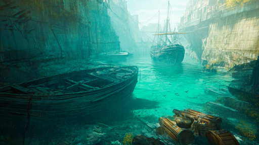
The Buried Map That Led to Pompeii’s Rediscovery

For centuries, Pompeii was considered a myth—until a forgotten Roman-era map led explorers to its buried remains. The map, which detailed roads and landmarks, helped locate the exact site where the volcanic disaster had occurred. If not for this historical map, Pompeii might still be hidden beneath layers of volcanic ash. How many more ancient cities remain lost, waiting to be rediscovered?
The Map That Sparked a War – The Borderline Error That Almost Changed History

In 1838, a cartographer’s mistake nearly caused a war between the U.S. and Britain over the Maine-Canada border. The incorrect map, drawn with an unclear boundary, led to diplomatic tensions so high that military forces were deployed. Fortunately, the error was caught before blood was shed. How many wars in history might have been caused by something as simple as a misplaced line?
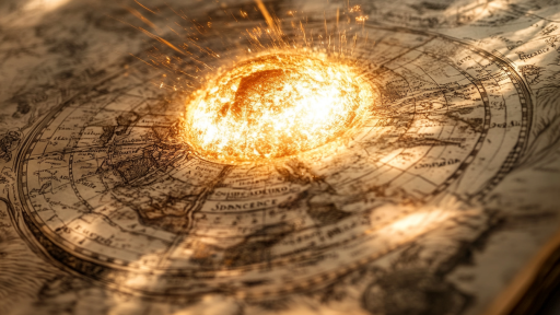
Could More Maps Hold Secrets We Haven’t Yet Discovered?

Maps are more than just records of places—they are windows into lost civilizations, forgotten knowledge, and mistakes that shaped history. Some maps raise more questions than they answer, leaving us to wonder if the past was different from what we believe. With so many mysteries still hidden in ancient cartography, what other discoveries are waiting just beneath the surface?