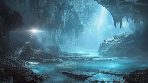

Throughout history, explorers and sailors have reported sightings of strange islands that seemed to rise from the sea—only to vanish without a trace. These so-called phantom islands appeared on maps, guided voyages, and even sparked territorial disputes, only to later be proven nonexistent or mysteriously lost. Were they mirages, cartographic errors, or something far stranger? The oceans may hold more mysteries than we’re ready to believe.
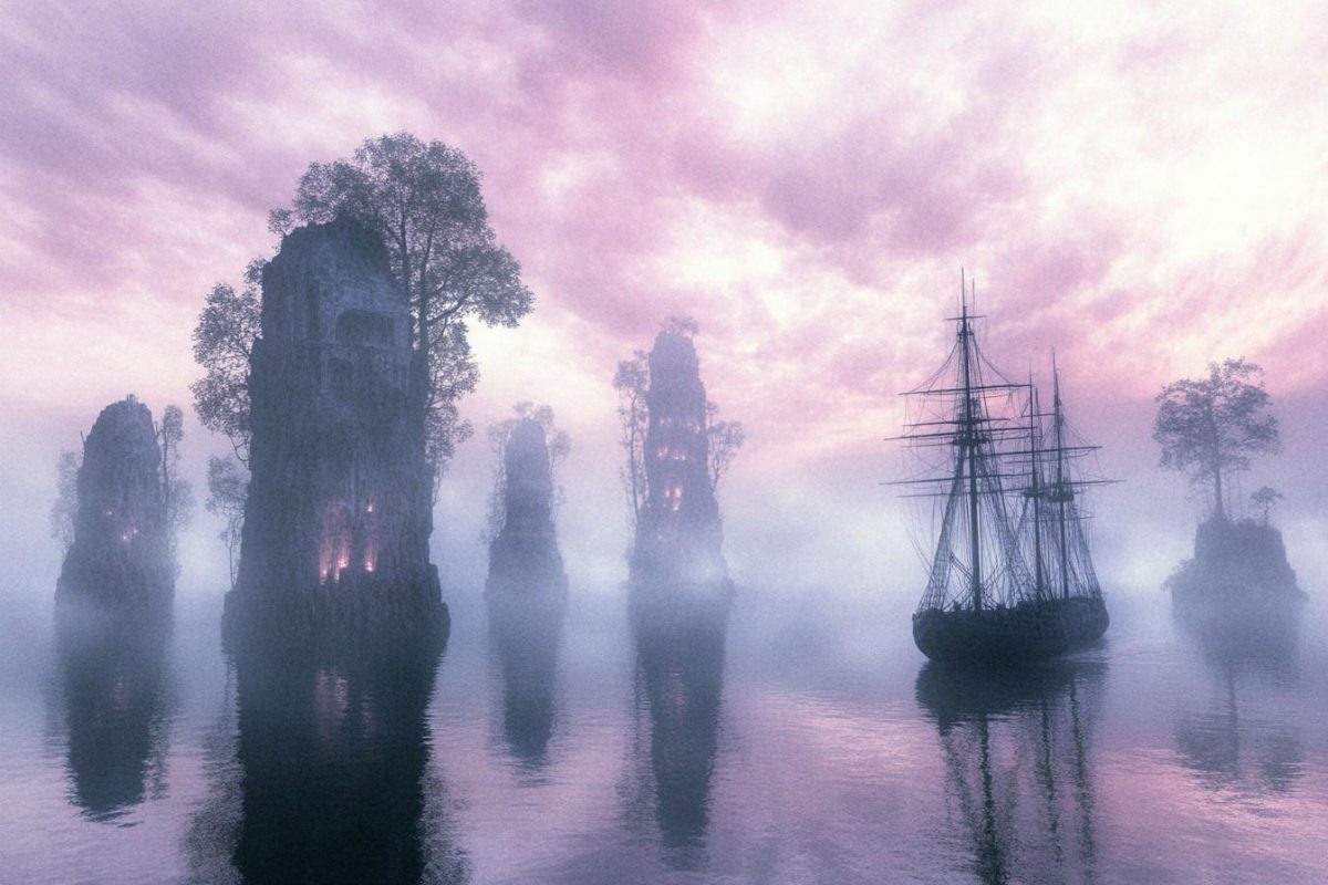
Hy-Brasil

Said to lie off the west coast of Ireland, Hy-Brasil was marked on maps for centuries. Shrouded in mist and said to appear only once every seven years, it was rumored to be a utopian land of advanced knowledge and great wealth. Despite numerous expeditions, no trace has ever been found. Some believe it was a mirage—others say it was something else entirely.
Sandy Island

Located between Australia and New Caledonia, Sandy Island was documented on maps for over a century. When researchers sailed to its coordinates in 2012, they found nothing but deep ocean. Satellite images once even showed its shape, making its disappearance even more bizarre. Scientists chalked it up to cartographic error—but how did it stay hidden in plain sight for so long?
Thule Island (Classical Thule)

First mentioned by the Greek explorer Pytheas in 4th century BCE, Thule was believed to be the northernmost land in the known world. He described it as a misty, frozen realm near the edge of existence. Later searches for it came up empty, and modern historians debate whether it was Iceland, Norway—or something entirely imaginary. Its legacy endures, even if its coordinates do not.
Bermeja Island

Bermeja once appeared in the Gulf of Mexico on maps from the 16th century all the way through the 20th. Mysteriously, modern surveys found no sign of the island—just empty water where it was supposed to be. Some suspect it eroded or sank, while others suggest more conspiratorial reasons behind its erasure. The truth remains sunken in secrecy.
The Island of Buss

Named after the ship that first reported it in the 16th century, the Island of Buss was supposedly located near Greenland. Several expeditions sought it over the centuries but returned empty-handed. Some believed it drifted, while others suggested the original report was based on icebergs or misread geography. Still, it lingered on maps far longer than it should have.
Emerald Island

In the icy southern seas, Emerald Island was supposedly discovered in 1821. It appeared on many maps for decades—until ships sent to confirm its location found nothing. Despite repeated sightings, no one could locate it again, and it was eventually erased from official charts. Yet tales of a hidden green land in Antarctic waters persist among the curious.
Isle of Demons

Off the coast of Newfoundland, early explorers feared the Isle of Demons, said to be haunted by evil spirits. A famous tale tells of a noblewoman stranded there, her cries echoing through the mist. While modern surveys show no such island, early maps consistently marked its location. Whether a cautionary tale or a misunderstood sighting, the isle’s terrifying legend lives on.
Antillia (Island of the Seven Cities)

Antillia was believed to be a refuge for seven bishops fleeing the Moors in the 8th century, eventually becoming a land of wonders across the Atlantic. For hundreds of years, it appeared on maps and inspired expeditions across the sea. As the Americas became better known, the mythical island gradually disappeared from cartography. Yet the myth of a lost haven still captivates the imagination.
Saxemberg Island

This supposed South Atlantic island was reported by several sailors across the 17th and 18th centuries. They described it as mountainous with signs of vegetation, but each subsequent expedition failed to find it again. Some believed it was a volcanic island that had since submerged. Its location remains a blank spot on the map where stories still linger.
Maria Theresa Reef
Once thought to lie in the South Pacific, Maria Theresa Reef was reported by sailors in the 1800s. It appeared in nautical charts for over a century, despite numerous failed attempts to locate it. In modern times, the reef has been dismissed as a maritime myth. Still, some argue it’s simply hiding in plain sight beneath the waves.
Enku Island

First documented by Japanese navigators in the 19th century, Enku Island was said to lie in the North Pacific. It appeared on several maps before suddenly vanishing from the record. Explorers who visited the supposed coordinates found only open sea. Its origins are unclear—was it a mirage, a drifting mass mistaken for land, or something more?
Islands of Doubt, Oceans of Mystery

Maps may have grown more accurate over time, but the seas still guard their secrets. Phantom islands remind us that reality and myth often overlap in the vastness of the ocean. Whether these islands truly existed or were figments of imagination, they’ve shaped exploration, inspired legends, and sparked curiosity. Sometimes, the most powerful discoveries are the ones we never quite find.