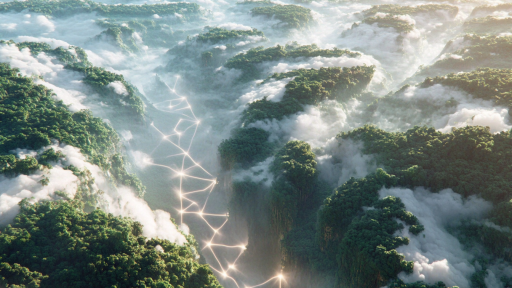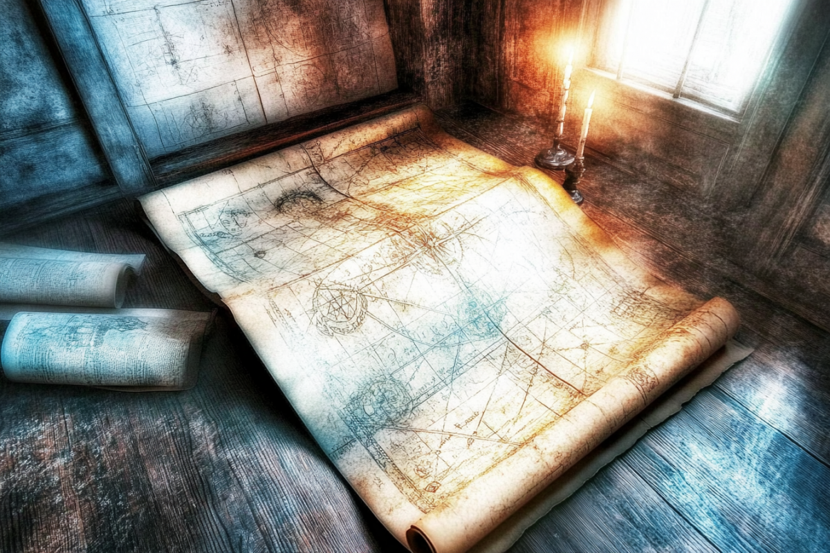

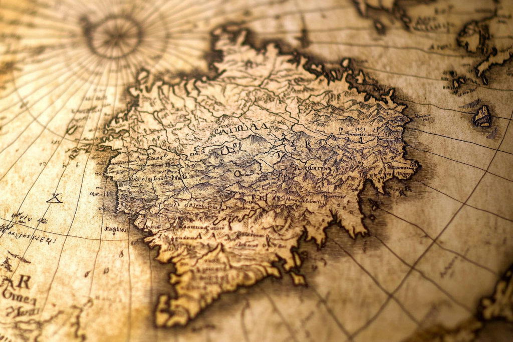
For centuries, maps have guided explorers, shaped civilizations, and unveiled the unknown. But some ancient maps hold secrets that defy explanation—depicting lands that shouldn’t exist, coastlines long before their official discovery, and even knowledge seemingly beyond their time. Were these maps evidence of forgotten civilizations, lost knowledge, or something even more mysterious? As we examine these shocking cartographic anomalies, prepare to question everything you thought you knew about history.
The Piri Reis Map: A Glimpse into a Lost World

Discovered in 1929, the Piri Reis Map stunned historians with its depiction of the Americas—drawn centuries before some of these lands were officially mapped. Even more perplexing, the map appears to outline an ice-free Antarctica, a detail that shouldn’t have been known in the 16th century. Did this Ottoman admiral have access to ancient knowledge lost to time? Some believe it hints at an advanced civilization predating recorded history.
The Zeno Map: Proof of Pre-Columbian Voyages?
This controversial map, published in the 16th century, charts Greenland and the North Atlantic with surprising accuracy. What baffles historians is its depiction of lands that wouldn’t be officially mapped until much later. Some claim it proves that European explorers reached the Americas long before Columbus. Others suggest it’s a remnant of a lost seafaring culture whose knowledge was erased by time.
The Da Vinci World Map: A Visionary’s Secret Knowledge

Leonardo da Vinci was not only a master artist but also an enigmatic mapmaker. One of his lesser-known maps presents the world in a projection centuries ahead of its time, as if viewed from space. How did he conceive such an advanced perspective without modern technology? Some believe it was pure genius, while others suspect he had access to knowledge that history has forgotten.
The Vinland Map: A Viking Footprint in the Americas

This disputed map suggests that Norse explorers charted North America long before Columbus set sail. If authentic, it could rewrite history, confirming Viking settlements deeper into the continent than previously believed. But skeptics argue it’s a clever forgery, clouding the truth with mystery. Whether real or not, it fuels the debate over just how much the Vikings knew about the New World.
The Kangnido Map: China’s Unexpected Worldview

Created in 1402, this ancient Korean map showcases a surprisingly accurate depiction of Africa, Europe, and the Middle East. How could East Asian cartographers have such detailed knowledge of lands thousands of miles away? Some historians believe it’s evidence of early global trade networks, while others suggest hidden voyages that never made it into the official record.
The Tabula Rogeriana: A World Turned Upside Down

Drawn by the 12th-century Muslim scholar Al-Idrisi, this map challenges perceptions by placing south at the top. Beyond its unusual orientation, it contains remarkably precise details of Europe, Africa, and Asia. Its accuracy raises questions about how medieval scholars gathered such extensive geographical knowledge. Was it the result of meticulous trade records, or does it hint at a lost source of global wisdom?
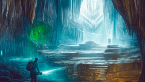
The Ica Stones Map: An Impossible Cartographic Mystery

The Ica Stones of Peru, often dismissed as hoaxes, contain bizarre carvings—including what appears to be a map of a pre-flood Earth. Some researchers claim these stones depict a world vastly different from what we know today, complete with unknown landmasses and creatures thought to be extinct. Could they be remnants of an ancient civilization lost to time? Or are they a modern fabrication meant to deceive?
The Buache Map: The Ice-Free Antarctica Enigma

One of history’s strangest maps, the Buache Map, seemingly outlines Antarctica without its icy covering. The problem? It was drawn in the 18th century, long before modern technology revealed what lies beneath the ice. Some suggest the map is based on ancient sources, hinting at a forgotten civilization that once saw Antarctica as a lush, habitable land. Could it be evidence of a lost epoch in human history?
The Hereford Mappa Mundi: A Medieval Puzzle

Unlike modern maps, this 13th-century masterpiece blends geography, mythology, and theology into a single depiction of the world. Strange creatures, biblical events, and mysterious lands fill its parchment, blurring the lines between fact and fantasy. But hidden within the illustrations are regions that some believe point to lost cities and forgotten civilizations. Was it purely artistic interpretation, or did medieval scholars know more than we assume?
The Peutinger Table: A Roman Roadmap to the Unknown

This elongated map, a relic of the Roman Empire, charts a vast network of roads connecting Europe, North Africa, and Asia. But among the expected routes, there are strange, seemingly misplaced regions and cities that don’t align with known history. Were these places real, erased by time, or simply imaginative additions? Some argue that it hints at lost Roman colonies, while others see it as evidence of ancient explorers reaching farther than we believed.
The Mahabharata Cosmic Map: A Universe Beyond Time

Ancient Hindu texts describe a map unlike any other—one that seemingly aligns with modern astronomical knowledge. Some scholars believe it depicts not just Earth but an entire cosmic landscape, including planets and constellations unknown to its era. Did ancient civilizations possess a deeper understanding of the universe than we give them credit for? Whether symbolic or scientific, this map challenges our view of history’s limitations.
What If History Isn’t What We Think?

Maps are more than just navigational tools; they are windows into the minds of those who created them. These ancient maps hint at forgotten knowledge, lost civilizations, and mysteries that defy explanation. Have we underestimated the abilities of those who came before us? Perhaps the greatest discoveries still lie hidden, waiting for someone to finally understand their meaning.