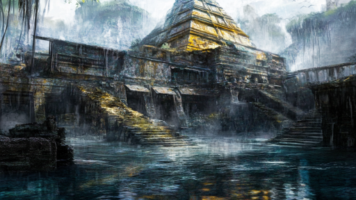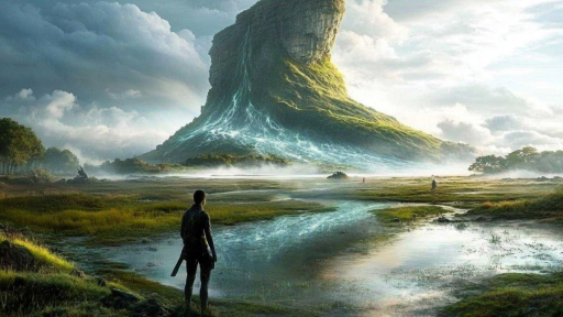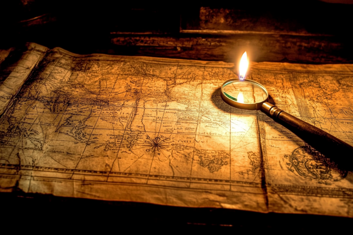

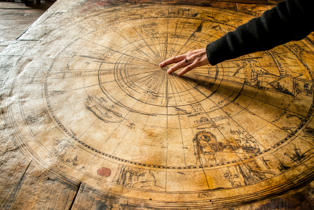
Throughout history, cartographers have drawn maps of lands that, according to modern geography, should not exist. Some of these maps depict entire continents that have vanished beneath the waves, while others show islands and cities that were wiped from existence without a trace. Are they mistakes, myths, or evidence of civilizations lost to time? These ancient maps may hold secrets that challenge everything we think we know about our world.
The Piri Reis Map and the Lost Antarctic Coast

Drawn in 1513, the Piri Reis Map depicts Antarctica centuries before it was officially discovered. Even more puzzling, the coastline appears ice-free, suggesting it was mapped when the continent was warmer—an impossibility according to conventional history. Some believe the map is a copy of even older charts, possibly created by an unknown seafaring civilization. Did ancient explorers know something we don’t?
The Zeno Map and the Phantom Isles of the North

The Zeno Map, created in the 14th century, shows an island called Frisland, located between Greenland and Iceland. Despite being detailed and appearing in historical records, the island doesn’t exist today. Was it a misinterpretation, or did Frisland once rise from the ocean before vanishing beneath the waves? Even now, satellite scans reveal strange formations beneath the North Atlantic.
The Ebstorf Map and the Kingdoms That Time Forgot
This massive medieval map, destroyed in WWII, depicted a world filled with unknown kingdoms and bizarre lands. It showed legendary places like the Land of the Amazons and monstrous humanoid creatures beyond the borders of known civilization. Were these embellishments, or did ancient travelers truly encounter something now lost to history?
The Vinland Map and the Forgotten Viking Settlement

Long before Columbus, the Vikings may have mapped parts of North America, as suggested by the Vinland Map. The parchment, believed to date back to the 15th century, depicts a mysterious land west of Greenland called Vinland. While mainstream historians debate its authenticity, Viking sagas speak of a lush land across the sea. If real, this map rewrites the history of exploration.
The Dulcert Portolan and the Vanishing Island of Brasil

The Dulcert Portolan, a 14th-century navigation chart, prominently features the island of Brasil, often depicted off the west coast of Ireland. Many explorers set sail to find it, but it was never officially recorded. Some claimed to have seen its shores before it mysteriously vanished. Was it a mirage, a cartographic error, or a land swallowed by the sea?
The Da Vinci Map and the Sunken City of Atlantis

Among Leonardo da Vinci’s sketches is a peculiar world map with an unusual circular landmass at its center. Some believe this could represent Atlantis, the legendary lost civilization. While many dismiss Atlantis as myth, the detailed geography on this map raises questions. Did Da Vinci have access to knowledge long forgotten?
The Cantino Planisphere and the Disappearance of the Antillia Islands

The Cantino Planisphere, one of the earliest European world maps, displays a cluster of islands known as Antillia. These lands, said to be a refuge for exiled explorers, were widely believed to exist—but they have never been found. Did shifting sea levels erase them, or were they merely legends woven into the fabric of early navigation?
The Buache Map and a Civilization Before the Ice Age

The Buache Map, created in the 18th century, is an enigma because it portrays Antarctica’s subglacial topography—information that wasn’t officially mapped until modern times. The level of accuracy suggests it was based on ancient sources, possibly from a time before the last Ice Age. Could this be proof of an advanced prehistoric civilization?
The Mercator Map and the Hidden Continents Beyond Our Own

Gerardus Mercator, famed for his maps, created a lesser-known work detailing lands beyond the known world, including strange continents at the North and South Poles. These lands, absent from modern maps, align with myths of lost civilizations. Some researchers believe these could be remnants of ancient knowledge erased over time.
Lost, But Never Forgotten

Ancient maps hold more than just directions; they carry the whispers of lost worlds, civilizations, and places we can no longer find. Were these lands simply errors, or is there truth hidden within these faded parchments? If history has taught us anything, it’s that the world is always more mysterious than we imagine. Perhaps one day, we’ll rediscover what was lost.