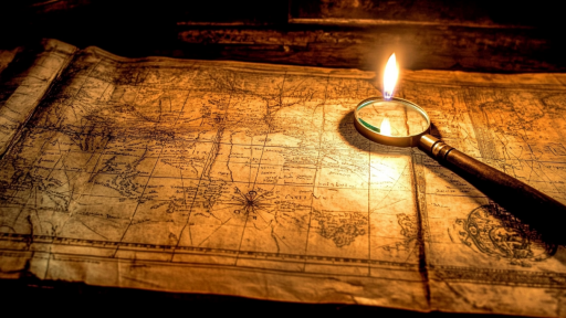


Maps are supposed to guide us, marking the known world with certainty. Yet throughout history, strange locations have appeared on some maps, only to vanish from others, leaving behind confusion and mystery. Were these errors, intentional deceptions, or glimpses of places that exist in ways we don’t yet understand? These bizarre locations challenge the way we perceive geography—and reality itself.
Sandy Island: The Pacific’s Phantom Land

Once marked near Australia in the Coral Sea, Sandy Island appeared on maps for over a century before vanishing without a trace. Even satellite images once showed its presence, yet modern explorers found only open water. Scientists suggest it may have been a cartographic mistake, but how does an island linger in records for so long if it never existed?
The Ghostly Isles of Los Jardines

Spanish explorers in the 16th century charted a cluster of islands in the Caribbean known as Los Jardines. The islands appeared on maps for centuries before mysteriously disappearing, leading some to believe they were mirages or navigational errors. Yet, older sea logs reference encounters with land there—was it a vanishing island or something more elusive?
Hy-Brasil: The Irish Atlantis

For centuries, sailors and cartographers depicted an island west of Ireland called Hy-Brasil. According to legend, it was hidden in mist, only appearing every few years before vanishing again. The island was even recorded on maps up until the 1800s, despite no modern evidence of its existence. Was it a real land swallowed by the ocean, or something never meant to be found?
The Shifting Coordinates of Rupes Nigra

During the Age of Exploration, maps depicted Rupes Nigra, a mysterious black rock at the North Pole believed to be a massive magnetic mountain. Some believed it explained why compasses behaved erratically near the Arctic. Yet as mapping technology advanced, Rupes Nigra disappeared entirely—was it a mistake, or did something once exist at Earth’s hidden center?
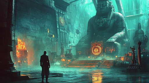
Lake Parime: The Vanished Waterway of El Dorado

Many expeditions sought Lake Parime, a legendary South American lake where the golden city of El Dorado was said to rest. European maps depicted it for centuries, but modern explorers found nothing but jungle. Some believe it was a seasonal floodplain mistaken for a permanent lake, while others think something erased it from history.
The Missing Town of Enon, Ohio

Some 19th-century maps of Ohio feature Enon, a town that supposedly existed in the rural Midwest. Yet, no physical evidence of the settlement has ever been found. Theories range from a clerical error to an abandoned, forgotten town—but why was it included on multiple maps before vanishing completely?
The Shifting Borders of Agloe, New York

Agloe, New York, began as a “paper town” created by cartographers to catch map thieves. But strangely, years later, people actually built a town at the location where the fake city was placed. The small settlement eventually faded, leaving behind a bizarre case of fiction becoming reality—did the map create the town, or did the town find the map?
The Mysterious Case of Franklin Island
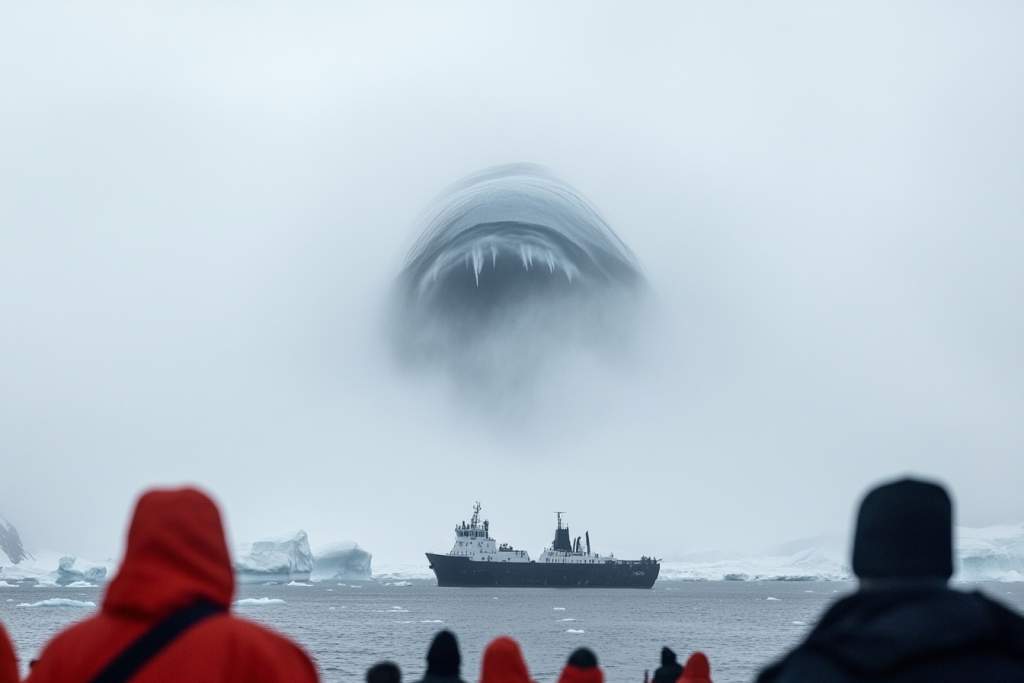
Early Arctic explorers marked Franklin Island in Canada’s far north, but modern mapping efforts have found no trace of it. Some believe shifting ice floes may have hidden the land, while others suggest it was a misidentification. However, Inuit legends speak of lost lands swallowed by the ice—perhaps Franklin Island was one of them.
The Unstable Existence of Podesta Island

In 1879, an Italian captain recorded Podesta Island off the coast of Chile, and it was included on maps for decades. Yet every modern search has resulted in empty ocean. Was it a trick of the light, a mirage, or a place that simply no longer exists?
The Fading Legacy of Isle of Demons

Early explorers feared the Isle of Demons, a place said to be inhabited by supernatural creatures. It appeared on maps near Canada for centuries before mysteriously vanishing. Historians believe it may have been a misinterpretation of a real landmass, but why did so many maps insist on its existence before it disappeared forever?
Phelipeaux and Pontchartrain: The Lakes That Weren’t There
18th-century maps of North America featured two large lakes, Phelipeaux and Pontchartrain, positioned near the Great Lakes. These bodies of water were noted by explorers, yet no trace of them exists today. Some suggest early surveyors misidentified temporary floodplains as lakes, while others wonder if natural changes buried them over time.
When Maps Fail to Remember

Geography is supposed to be constant, yet history has shown that places can appear and disappear as if rewritten by an unseen force. Some locations may have been errors, while others seem to defy logic, flickering in and out of existence. If a place can exist on a map but not in the real world, then what else might be waiting to be discovered—or forgotten?